House & Home — Field report TQL-HOM-884
Buying Your First Place? Which Level of Survey You Need Depends on Who's Asking
Home inspection, boundary survey, title survey, aerial mapping. Four different professionals, four different deliverables, and only one of them answers the question you have.
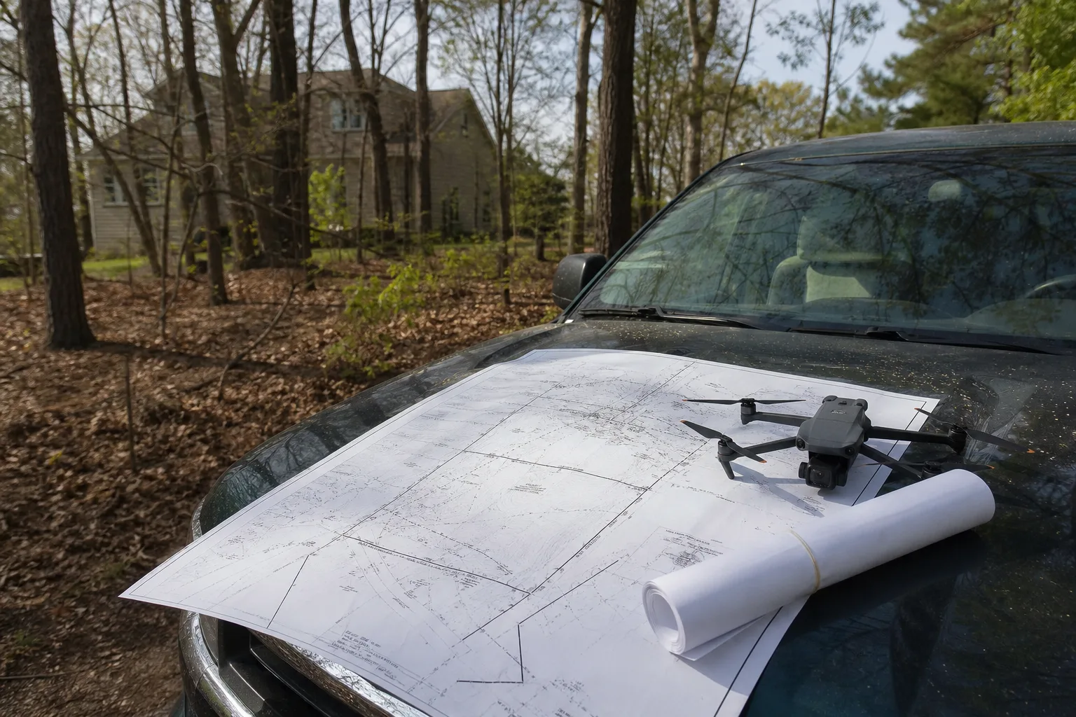
The word survey gets used for at least four unrelated jobs, and the first time you buy property you will hear all four inside a week. Your lender wants one. Your title company wants a different one. Your real estate agent recommends a third. Somebody mentions a fourth once you say the word acreage. They are not interchangeable, they are produced by people with different licenses, and ordering the wrong one costs you the fee and the two weeks.
What follows sorts them by who produces the document and what question it answers, because that is the only sorting that holds up when a closing date is moving.
Four deliverables that share one word
A home inspection is a visual, non-invasive condition report on the structure and its systems. Roof, foundation, electrical, plumbing, HVAC, appliances. It tells you what is failing or about to. It says nothing about where your property line runs, and a home inspector who starts opining on boundaries has stepped outside their lane.
A boundary survey is a legal determination of where your land stops. A licensed land surveyor researches the deed and recorded plats, locates monuments in the ground, and produces a drawing with a seal on it. This is the document that settles whether the neighbor's fence is three feet inside your line.
A mortgage location survey (names vary by state) is a lighter product. It shows the house, the drive, the obvious improvements, and whether anything crosses a setback. Some lenders accept it. It is not a boundary determination and in several states a surveyor will stamp it with language saying exactly that.
An ALTA/NSPS land title survey is the heavyweight. It ties the boundary work to the title commitment, plots every recorded easement, and is what a commercial lender or a cautious title underwriter asks for before they will remove the survey exception from the policy. On a single-family purchase you usually do not need it. On land, on a parcel with utility easements, or on anything you intend to subdivide, you may.
The people sitting next to your decision
Here is the part nobody lays out for a first-time buyer: each of these documents comes from a different professional, and they do not coordinate with each other unless you make them.
- The home inspector is licensed or certified at the state level, works for you, and typically delivers in 24 to 48 hours. They will recommend further evaluation rather than diagnose a structural problem outright, because that is the limit of the scope.
- The professional land surveyor holds a state license with a seal. Only this person can produce a document that carries legal weight about your boundary. Turnaround runs longer than people expect, especially in spring, because field crews and research both queue.
- The structural engineer (PE) is who the inspector refers you to when a crack or a sagging ridge needs an opinion with liability attached. Their letter is what a lender or an insurer will read.
- The title examiner never visits the property. They work from the record, and they are the one who tells you which survey product clears their exception.
- The appraiser works for the lender, not for you, and is answering a value question only.
If you call the surveyor before the title commitment arrives, you may order the wrong scope. Ask the title company what they need, in writing, first. That one email reorders the whole sequence in your favor.
When aerial data earns its place
Not every parcel is a quarter acre of mowed lawn. Once you are dealing with acreage, steep grade, dense tree cover, a long private drive, or a roof nobody can safely walk, ground crews get slow and expensive fast. That is where aerial capture enters the picture, and it has moved from novelty to routine over the last several years.
Firms offering drone mapping services fly a planned grid, capture overlapping imagery, and process it into an orthomosaic, a contour model, or a point cloud a surveyor can work from. Commercial flights fall under the Federal Aviation Administration, which is responsible for licensing remote pilots and the rules they fly by, so ask for the pilot's certification the same way you would ask a contractor for their license.
What you get is a measurable record of the whole site on one date. That matters for drainage planning, for a builder pricing excavation, for documenting storm damage to a roof before the adjuster arrives, and for seeing exactly where the tree line sits relative to the structure. It supplements the sealed survey rather than replacing it, and on a difficult parcel the combination costs less than sending a crew to walk the whole thing.
Matching the level to your actual situation
Buying a tract house on a platted subdivision lot, financing conventionally, no plans to build: a home inspection, plus whatever location survey your lender specifies. That is usually the whole list.
Buying anything where a fence, shed, driveway or hedge appears to sit near a line: add a full boundary survey before closing, not after. Afterward, you are negotiating with a neighbor as the owner rather than as a buyer with an escape hatch.
Buying raw land or a parcel you will build on: boundary survey, topographic data, and a conversation about easements with the title examiner. Aerial capture is worth pricing here, since your builder will want grade information anyway.
Buying an older house where the inspector flags movement: budget for the engineer's letter. It is the document that converts an ambiguous finding into a number you can negotiate against.
Order in that sequence and each report feeds the next one. Hand your inspector's report to the engineer, hand the title commitment to the surveyor, hand the aerial file to the builder. The information compounds, and you stop paying three people to answer the same question twice.